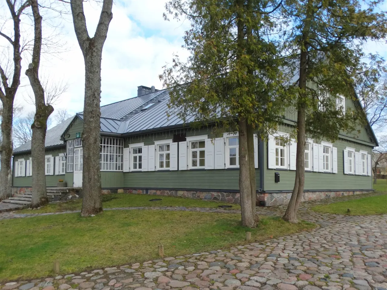
About
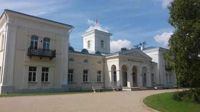
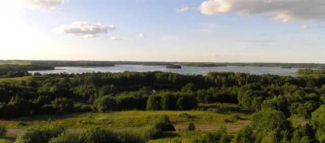
Anykščiai Regional Park was established in 1992 to protect the natural and cultural heritage of the Šventoji valley, the Anykščiai pine grove and the Rubikiai lakes. It is rich in hillforts, outcrops, legendary stones and nature trails.
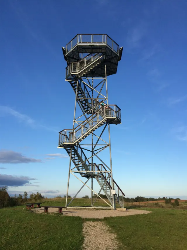
Many of the places in this guide lie within the park: Puntukas, the Treetop Walking Path, the Vetygala Outcrop and the Bijeikiai tower. It is a great area for both cycling and hiking.
Tip: Route maps and advice are available at the regional park visitor centre.
Getting there
It is about 11 km from the centre of Anykščiai as the crow flies (a little more by road). The easiest way to get here is by car or bike – the "Show on map" button gives you the exact route. Address: Anykščiai district.
Information is approximate. Before visiting, please check current opening hours, ticket prices and visiting conditions on the official source.
Frequently asked questions
How much does Anykščiai Regional Park cost?
Free. It is still worth checking the latest information before you go.
How much time should I allow?
We recommend allowing 1–3 hrs.
Is Anykščiai Regional Park suitable for children?
Yes, it is suitable for the whole family.
Where is Anykščiai Regional Park?
Anykščiai district. It is about 11 km from the centre of Anykščiai.